Image

Coordinator: Deutsches Zentrum für Luft- und Raumfahrt e.V. (DLR) - Deutsches Fernerkundungsdatenzentrum (DFD)
Contact person: Dr. Elisabeth Schöpfer
Address: Münchener Straße 20, 82234 Weßling
Tel.: +49 8153 28-1508
Email: elisabeth.schoepfer(at)dlr.de
Projekt partners in Germany
Project partners in Chile, Ecuador and Peru
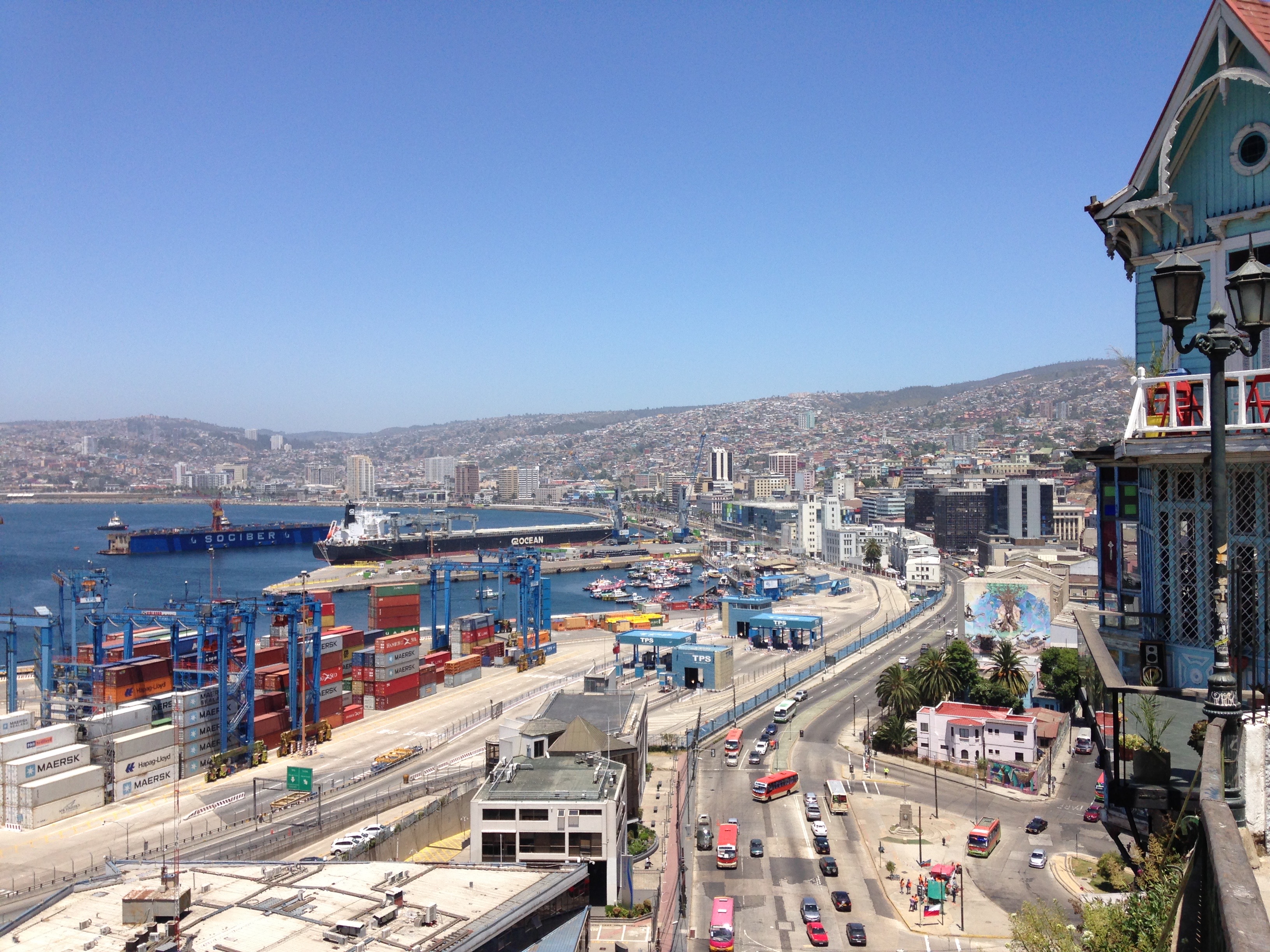
The Andes region is exposed to multiple natural hazards. These include earthquakes as well as volcanic activity, but also droughts and flood events. The interrelations between natural hazards and cascading effects – for example tsunamis caused by earthquakes – often lead to destructive consequences for society. The RIESGOS 2.0 project builds on the achievements of predecessor project RIESGOS. Participating institutions from the fields of science and practice in Germany, Chile, Ecuador and Peru continue the trusting cooperation to develop scientific methods and tools for multi-risk analyses.
Increasing numbers of people worldwide are being exposed to natural hazards, particularly in densely populated cities and conurbations. Effective prevention and risk management can save lives, as hazards are rarely isolated: if an earthquake triggers a tsunami, this in turn can lead to further environmental disasters and disruptions. Torrential rain can cause landslides and lead to rivers bursting their banks, resulting in flooding. These chain reactions can compound a disaster and quickly overwhelm victims and rescue workers. Information systems can help planners and emergency services pre-emptively draw up multi-risk scenarios and take targeted precautions.
The RIESGOS 2.0 project builds on the achievements of its predecessor, RIESGOS (Spanish for “risks”). RIESGOS designed and demonstrated a new method for modelling and simulating complex multi-risk situations, using the Andes as an example region. Over the period of three years, RIESGOS 2.0 will address central research questions to substantially expand the approach and strengthen the potential for practical implementation. To achieve the project goal, the team will work in the three closely connected areas of research, development and application.
RIESGOS 2.0 will be used to analyse potential disaster scenarios based on particularly endangered pilot regions in Chile, Ecuador and Peru. The project utilises techniques from geophysics, hydrology, geology, geography, geostatistics and remote sensing, as well as from existing initiatives and services employed by South American institutions.
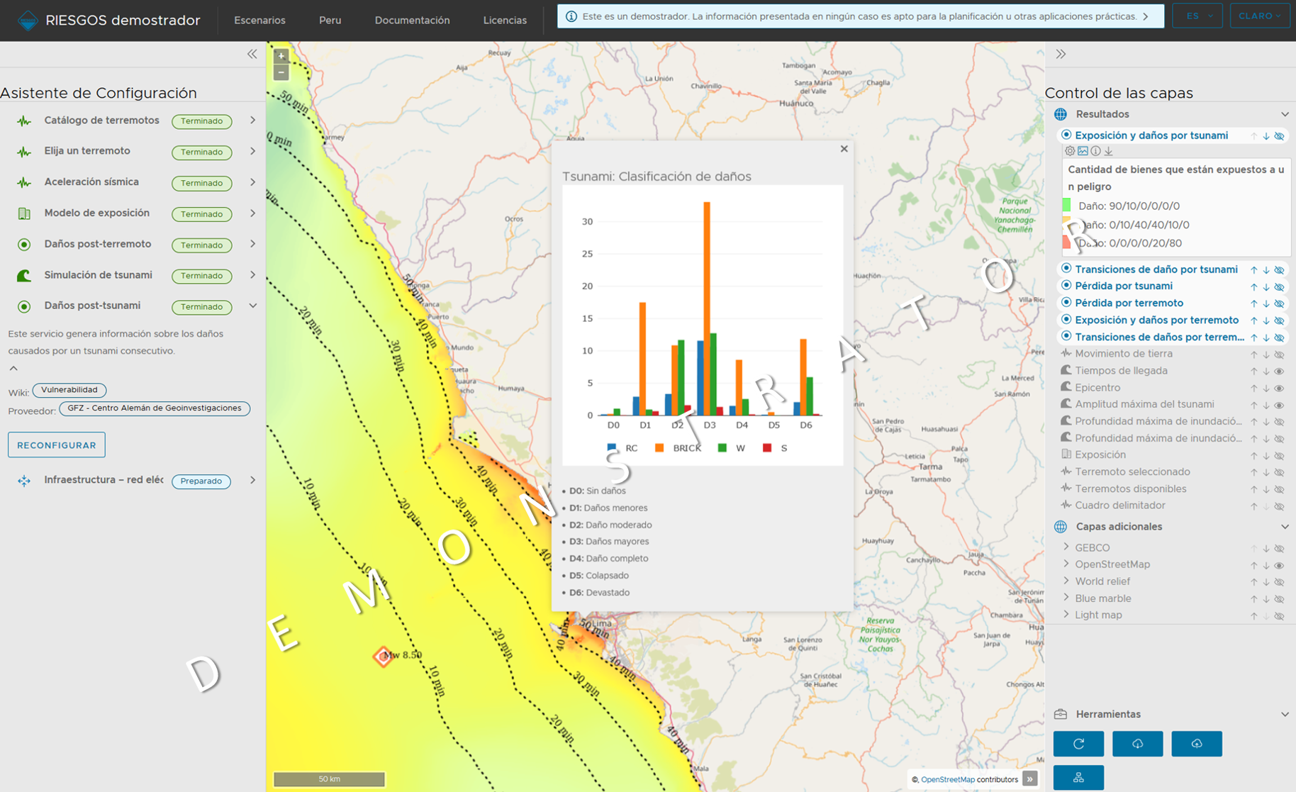
The results from research will be transferred as web services to a demonstrator of a multi-risk information system. The demonstrator is based on a modular and scalable concept and has a decentralized design. A web platform allows users to simulate and model how various natural hazards, such as earthquakes, landslides, volcanic eruptions, floods and tsunamis, would progress and interact; the platform can also consider the impact on critical infrastructure, such as power grids.
Potential users, such as emergency services, planners and relief organisations, will be able to simulate and assess different future scenarios.
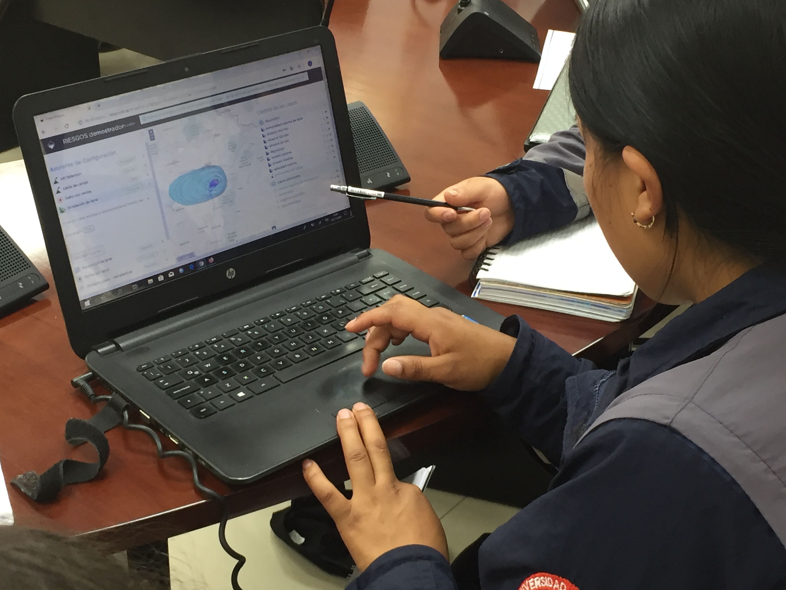
In close collaboration with local and national stakeholders, the development team is optimizing the demonstrator platform with regard to its practical applicability and supporting local institutions by organising trainings and workshops.
The developments are open source and compliant with international standards, allowing them to be integrated into existing system environments. This will provide the basis for a sustainable use of project results in partner countries. In future, it will be possible to integrate elements of the platform into country-specific information systems and applications, for example, in risk communication, with further potential in risk prevention and precautionary planning. This opens up new possibilities for authorities, for example, to better adapt land use planning to possible multi-risk scenarios and to increase risk awareness among the public.
The elaboration of possible perspectives for an economic exploitation of the project results is another important component. The SMEs involved in the project are collaborating on cooperation and business models, etc., with the German Chambers of Commerce Abroad (AHK) in Chile, Ecuador and Peru.


")