
Affordable and clean energy
Climate action
Partnerships for the goals
Clean water and sanitation
Coordinator: KIT, Institute for Applied Geosciences
Contact Person: Dr Birgit Müller
Address: Adenauerring 20b, 76131 Karlsruhe
Phone: +49 (0) 721 6084 5221
E-Mail: birgit.mueller(at)kit.edu
Project participants in Germany:
- KIT - Karlsruhe Institute of Technology
Project participant in Georgia:
- EIFER
- European Centre on geodynamical Hazards of High Dams (GHHD)
- Georgian Technical University (GTU)
- Tiflis State University (TSU)
- GEORISK
Dams and Induced Seismicity –Transfer of Technologies
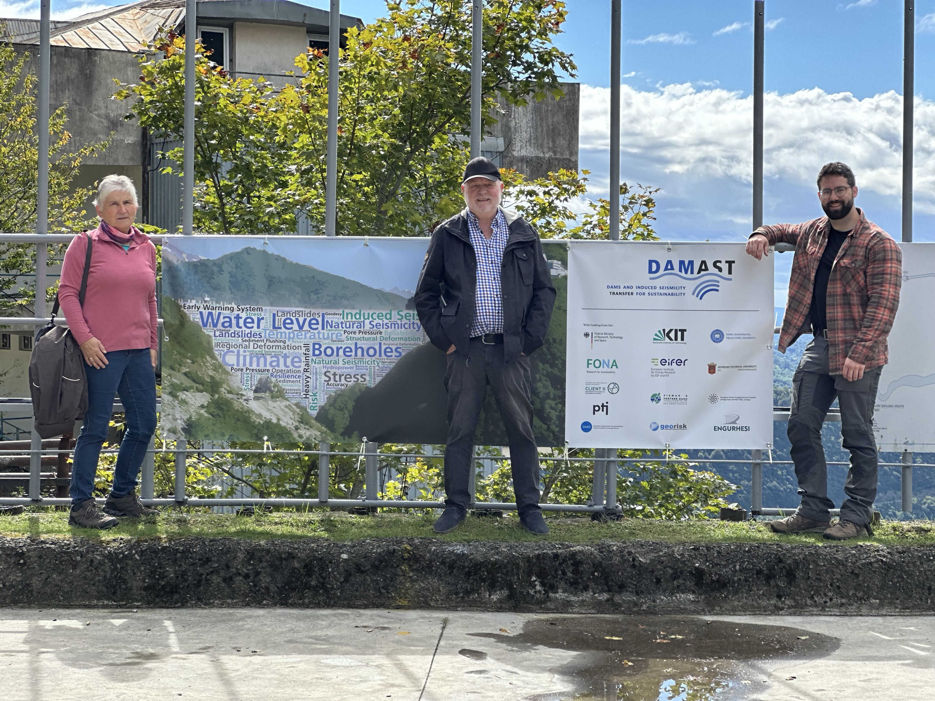
Based on DAMAST, DAMAST-Transfer aims to investigate the processes of induced seismicity during the construction and operation of dams, to test and further develop suitable monitoring of relevant parameters and to transfer the results into practice. The transfer is to take place through the establishment of a competence centre in Georgia. This will involve:
- Qualification via theory and practical training
- Establishment of the organisational structure for the competence centre
Establishment of a local base for monitoring and archiving.
© DAMAST Transfer
The DAMAST-Transfer project
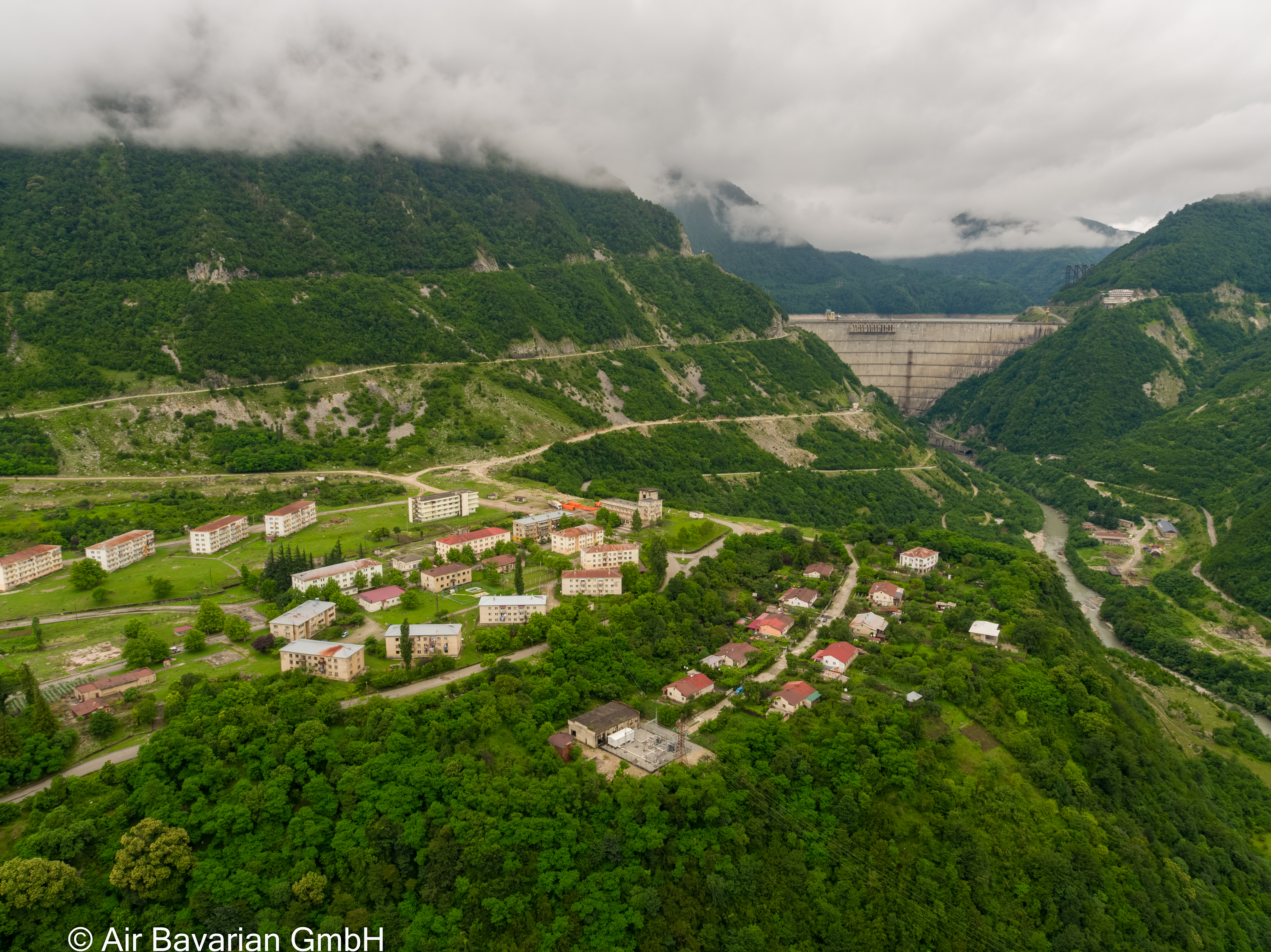
The operation of dams guarantees the supply of water to the population and agriculture but is currently experiencing new challenges due to climate change. Hydro-electric plants have high levels of flexibility and large storage capacities and are essential for security of supply.
The goal of DAMAST-Transfer is capacity building with a view to further developing expertise from DAMAST together with the partners involved. The aim is to qualify specialists for the construction and operation of dams and to strengthen internationally competitive student education in geosciences and engineering both in the Caucasus and Germany.
In order to solve project-specific problems for the numerous dams in the Caucasus, a competence centre is to be established, the basics of which (structure, local base, training) will be created in the transfer project. Such a facility does not exist in the Caucasus at this stage.
Unique data could be obtained in DAMAST. It has been shown that induced seismicity occurs not only in the immediate reservoir area. Furthermore, sedimentation in reservoirs worldwide reduces reservoir capacity and life, making new construction inevitable. Extreme sediment displacement over short periods of time was observed at the Enguri Dam. Geodetic and structural photogrammetric deformation measurements show regional and dam movements due to varying water levels. Transfer is accomplished by collecting, evaluating, interpreting and providing data from the fields of seismology, geodesy, photogrammetry, water and sediment management, geomechanics, and hazard analysis.
The supply of energy and water requires the qualification of scientists, technicians and engineers for the use of modern monitoring methods
Engineers, archivists, technicians and geoscientists are to be trained for the future tasks of energy and water supply. These are lacking for preliminary investigation and the design, construction, approval and operation of water storage facilities. The centre will archive relevant baseline data, maintain equipment, obtain and interpret new monitoring data, hold training sessions and develop recommendations for facility construction and operation. In this way, paths towards the safe and sustainable development and operation of dams will be made clear for politicians, the population and project operators.
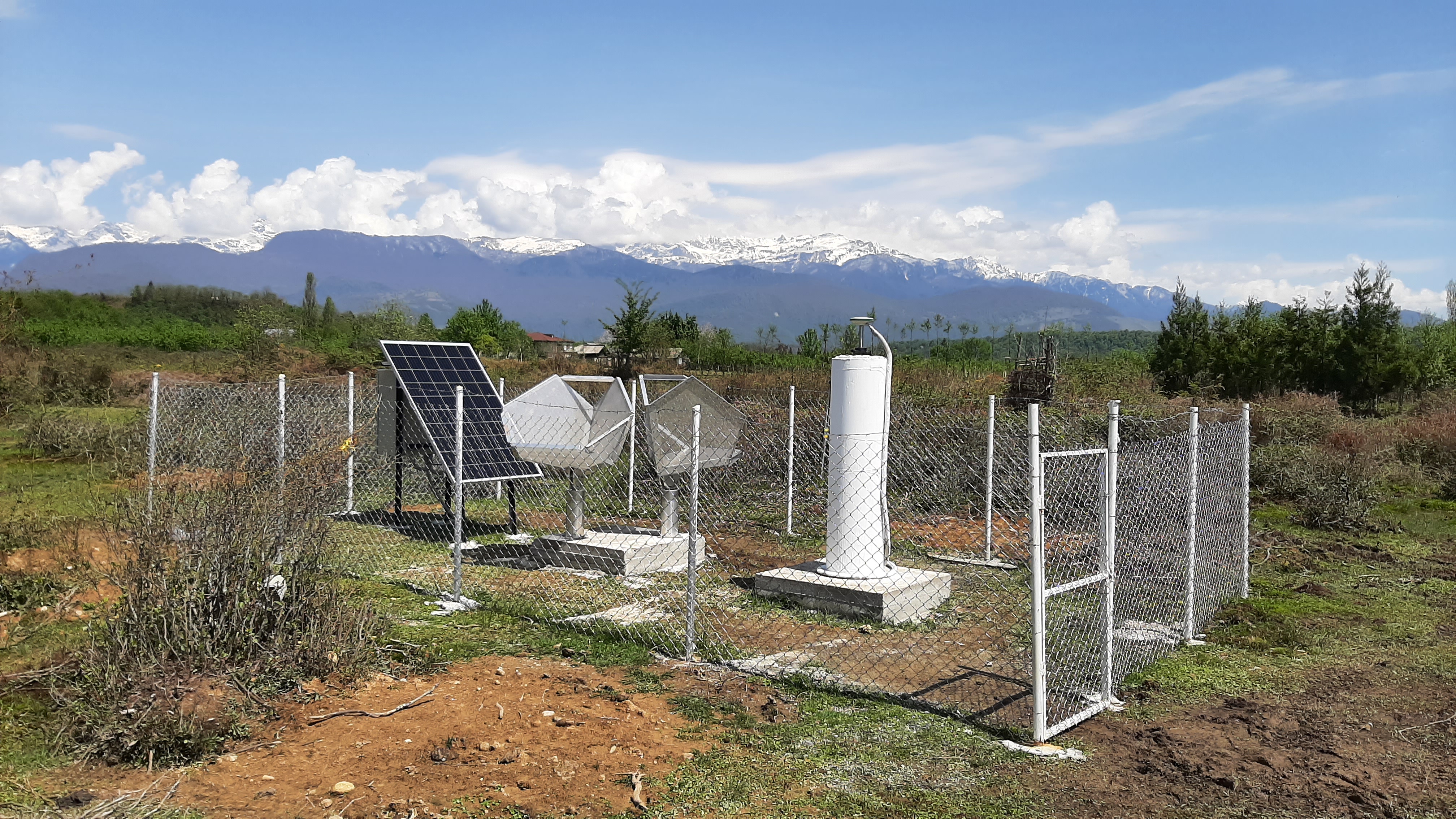
In addition to qualification via theoretical and practical training, the organisational structure for the competence centre is to be developed with the involvement of stakeholders. A local base for monitoring and data archiving will form the basis for the centre.
It depends on what you make of it - transfer in several respects
Dams are used for water and power supply and flood protection and safety-relevant evidence has to be collected and evaluated for them. In Germany, there are regulations for this - but not in the Caucasus.
The expected results include:
- (1) knowledge transfer- at the TSU and GTU and dam operators,
- (2) structural improvement of research infrastructure (transfer of equipment),
- (3) creation of processes and structures for quality assurance, and
- (4) establishment of a base as the basis for a centre of excellence.
The partner institutions, GTU, TSU, GHHD, will participate in the collection and analysis of data, in the qualification of young scientists and in the establishment of the competence centre.
The project will run within the framework of precautionary research and innovation to implement the UN SDGs on “Clean water”, “Affordable and clean energy”, “Innovation an infrastructure” and “Climate actions”.
Click here for the predecessor project DAMAST.
DAMAST: The German Federal Government reports on the project

DAMAST: Investigation of Jvari-Lake Sediments

DAMAST: Bohrungen und Bohrlochvermessung (Logging)
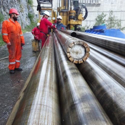
DAMAST: Drilling and well logging

