Partnerships for the goals
Coordinator: TU Bergakademie Freiberg - Institut für Geotechnik
Contact person: Prof. Dr.-Ing. habil Heinz Konietzky
Address: Gustav-Zeuner-Str. 1, 09599 Freiberg
Phone: +49 3731 39-2519
Email: heinz.konietzky(at)ifgt.tu-freiberg.de
Project partners:
- HTW Dresden
- Geoinformatikbüro Dassau GmbH
- EA Systems Dresden GmbH
- Jähnig GmbH Felssicherung & Zaunbau
- aeroDCS GmbH
SwanRisk – Managing the risk of natural hazards through monitoring and risk models in Svaneti (Georgia)
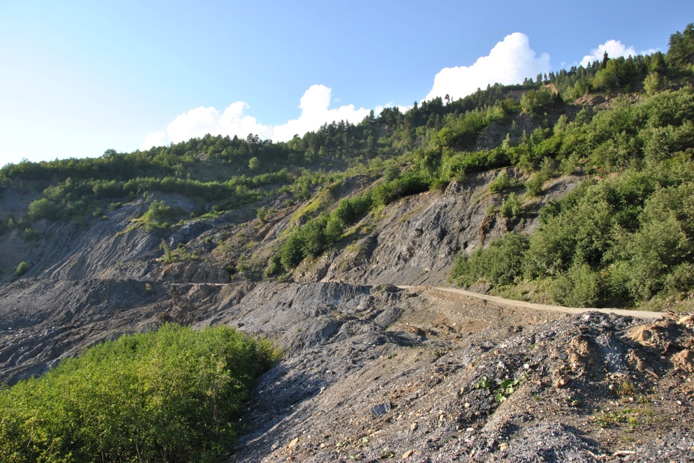
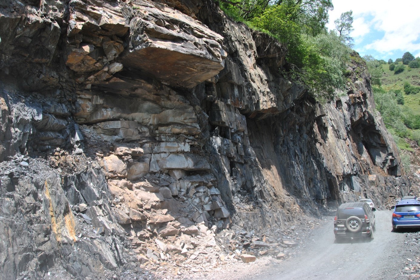
Svaneti is a region in Georgia that experiences landslides, rockfalls and floods, some of which are severe. The SwanRisk project aims to generate numeric-geotechnical forecast and risk models to evaluate slope stabilities and the risk of rockfalls. By conducting large-scale, geoscientific examinations, for example creating terrain models by means of drone flights, monitoring slope movements, gathering weather data and generating geotechnical risk models, the project team aims to gather enough data to assess risks with the aid of AI.
1. The situation in Svaneti
Svaneti is a region that experiences landslides, rockfalls and floods, some of which are severe, causing numerous deaths and destroying roads. As the Enguri valley is the only land connection between the Georgian lowlands and Mestia, the destruction of this road cuts off Greater Caucasus towns from supply. Caused by geological conditions, the mass movements are further accelerated by ongoing erosion, which leads to the loss of trees and/or forests. This in turn increases erosion and can therefore be viewed as a type of self-enforcing process. As glaciers are currently retreating, experts assume that permafrost soils will thaw and winter precipitation increase. Both cause changes in the hydrological regime and an increase in slope stabilities in the medium term, which is further heightened by the occurrence of high quantities of meltwater.

2. Solution
The project team will use drones to survey selected areas and generate terrain models, while geological engineering examinations will be conducted to capture rock parameters; in a final step, the team will generate geotechnical risk models. One approach will link the models to depict the immediate connection between floods and hazards such as mass movements; the values and parameters that result from the hydrological models will then be incorporated into the geotechnical forecast and risk models.
The project aims to create a robust monitoring and early warning system that can be expanded over time. To cover larger areas, the project team will use models of risk type localities to conduct the initial calibration of the monitoring system; this will be followed by a gradual recalibration using machine-learning methods.

3. Targets
The project aims to generate numeric-geotechnical forecast and risk models to assess slope stabilities and the risk of rockfalls; these allow reliable statements on hazards caused by mass movements and can be adapted to reflect expected, future climate changes.
This involves creating technical engineering solutions for the subsoil with regard to the infrastructure as well as safety concepts for future construction measures on risky slopes.
Another key target is the (further) development of a low-maintenance monitoring and early warning system to cover larger areas, which are often difficult to access. The team will use a combination of existing technologies to develop a flexible, self-learning system that can act as an early warning system and be adapted to various geological engineering situations.
The planned expert system will record all existing and generated data with reference to place and time. As new data is gradually added, the system will provide increasingly accurate information on the type and intensity of natural hazards in Svaneti. The monitoring and early-warning system will be linked to the expert system so that potential risks and concrete events are automatically shown in a (web-based) GIS. A smartphone app will allow authorities to promptly inform the population of mass movements; being able to do so can help increase awareness of this problem. In addition, crowd data collecting improves the database used by the forecast models and thus provides increased planning security.
