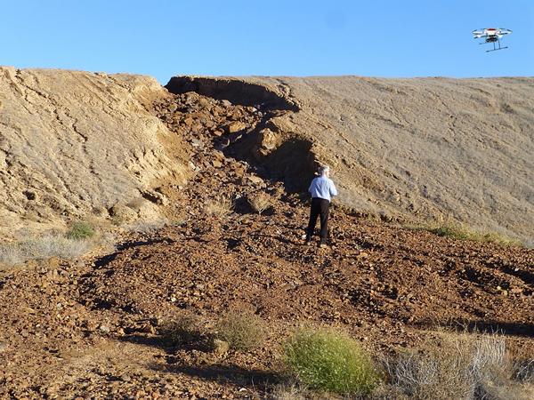

New mapping technology for uranium mining legacies
Under the leadership of the Federal Institute for Geosciences and Natural Resources (BGR), a German consortium is planning a drone-assisted method for exploring uranium mining legacies in Central Asia in cooperation with partner authorities from Kyrgyzstan, Tajikistan, Uzbekistan and Kazakhstan. The investigation technology (gamma spectrometry) installed on a UAV (unmanned aerial vehicle) is intended to support the decontamination of radioactively contaminated sites from uranium mining in the countries mentioned by mapping from the air. Central Asia is very threatened by natural hazards such as flooding and landslides. Due to the mountainous landscape and the risk conditions in the vicinity of radioactively contaminated sites of the former uranium mining industry, uncontrolled entry of radioactive contaminants into transboundary rivers in the region is a threat.
In addition to the BGR, IAF-Radioökologie GmbH (Radeberg, Saxon) and Third Element Aviation GmbH (Bielefeld) are partners of the German consortium. The research project DUB-GEM, which has already started, is set to run for three years and is funded by the Federal Ministry of Education and Research (BMBF) with approx. 1.5 million EUR. Flight strategies and workflows will be developed in addition to developing the measurement methodology.
This article was published online on 15/5/2019. The text is published here courtesy of the Federal Institute for Geosciences and Natural Resources (BGR).
