
Inform@Risk: status meeting in Medellín
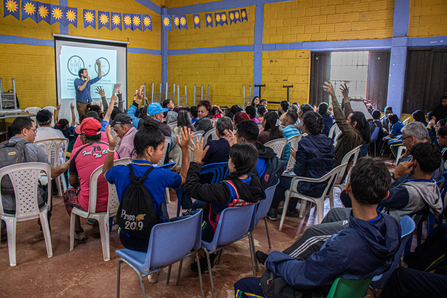
At the meeting in November, all project partners were on site together for the first time to present the first research results from the different disciplines of the team. This included satellite image evaluations and geotechnical investigations of the landslide risk in the project area, but also socio-spatial analyses as well as results from previous expert interviews and surveys of residents. The presentations took place for the different target groups of the project in the EAFIT University, in expert meetings of the municipal administration and in the school in the project area. The German and Colombian teams also went on joint excursions to the project area and to other projects in Medellín to strengthen the basis for understanding.
After further field analyses in February an intensive planning phase of the early-warning system will follow until summer 2020 with all participants. This includes the technical conception of the network of geo sensors in the project area as well as the integration and design in public areas to strengthen the identity and sense of responsibility of the inhabitants for the sensor system. Furthermore, a phone-application will be developed that allows the inhabitants to actively monitor the system and to feed in data of local observations.
The German-Colombian project Inform@Risk officially startet on the 1st of March 2019 and aims to develop a pilot project specifically for informal settlements in Medellín which is adaptable to other agglomerations in the Anden region. Since the decision for a fitting project area in the summer of 2019, regular workshops with engaged residents and leaders of the Medellín city administration to develop the project further in a participative process.

